Overview
How it works
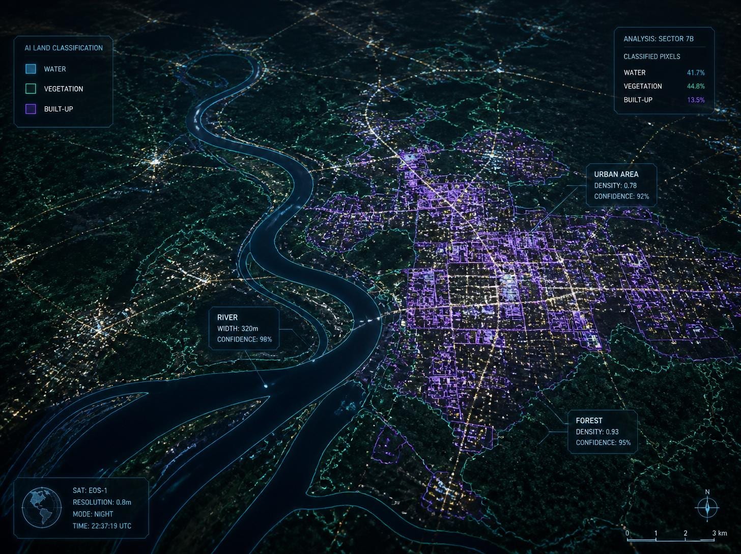
At Tracsens, we leverage advanced satellite imagery and AI-powered geospatial analytics to extract meaningful insights from the Earth's surface. Our solutions identify and classify land cover features such as water bodies, forests, agricultural land, barren land, roads, buildings, urban areas, and other natural and man-made structures.
Satellite images are captured by Earth observation satellites orbiting hundreds of kilometers above the Earth, providing a comprehensive view of large geographic regions while maintaining the detail needed to identify key infrastructure and land features.
By analyzing both historical and current satellite imagery, we help organizations monitor land-use changes, track infrastructure development, assess environmental impacts, and identify trends over time.
Applications
Where it's applied
Land use and land cover classification
Urban expansion and infrastructure monitoring
Agricultural and crop monitoring
Forest cover assessment and deforestation detection
Water body mapping and flood monitoring
Road and transportation network analysis
Environmental and ecosystem monitoring
Disaster impact assessment and recovery planning
Mining and land reclamation monitoring
Smart city planning and regional development
Climate change and sustainability studies
Site selection and feasibility analysis for industrial and infrastructure projects